Some links on this page are affiliate links: if you book through them, we may earn a commission at no extra cost to you. How this works
Hikers who come to Madeira for a madeira thru hike, one line from one end of the island to the other, meet a problem before they meet a trail: in 2026 there is no official route that does it. The east-west link between the central mountains and the Paul da Serra plateau cannot be walked on classified trails, because the trails that made it, PR1.3 and PR3, both called the Vereda da Encumeada, are closed. The classified trails are run by the regional forest institute, the IFCN.
What does exist is shorter and still spectacular: a north-south crossing over the highest peaks, from Pico do Areeiro to Pico Ruivo on PR1 and down the far side to Achada do Teixeira or to Ilha. There is also the line of the island's ultra-marathon, the MIUT, from Porto Moniz to Machico, which some walkers take as a model and plan in their own way.
Transfers for the peak crossing: dropped at Pico do Areeiro, collected on the far side.
 Most reviewed
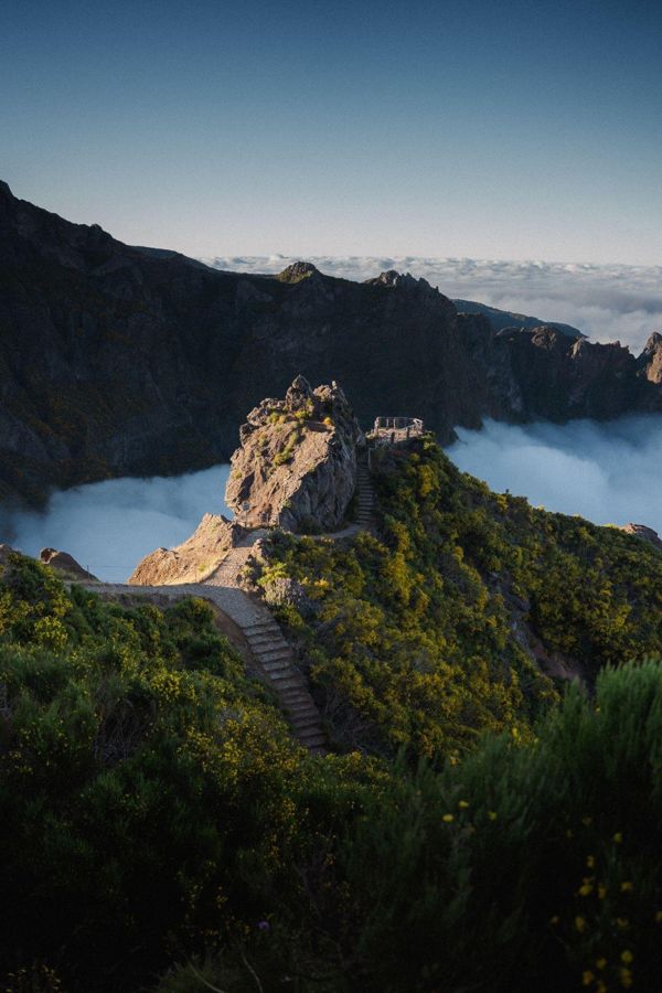
Funchal: Pico do Arieiro & Pico Ruivo Hiking Transfer
PR1 one way, with the pickup below Pico Ruivo
 Sunrise
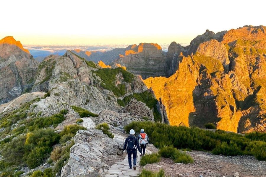
Pico Do Arieiro Pico Ruivo Sunrise or Morning Hike Transfers
The crossing at sunrise or in the morning
What exists, and what does not
Most crossing plans found online were drawn before the closures, and the usual mistake is to follow one of them to a locked gate.
The classified trails, the PR network managed by the IFCN, are the only routes the region maintains, signs and monitors. On that network, the crossing from the central mountains west to Paul da Serra is not possible in 2026. PR3, the Vereda da Encumeada, has no reopening date, and PR1.3, the branch of PR1 towards Encumeada, is closed too; it will become an exit from Pico Ruivo when it reopens.
The IFCN does not recommend, organise or validate MIUT-inspired or other long-distance crossings, and it does not recommend unclassified trails, because it does not maintain, sign or monitor them. A walker who wants a longer line has to design it, check which classified trails it uses, and book each of them.
A way to cross the island from north to south without depending on PR1 is being studied. Nothing concrete has been announced; any decision will appear on the IFCN's own channels.
The practical result is simple. The one crossing you can walk end to end on maintained trails in 2026 is over the peaks. Everything longer is a set of stages joined by road, or a route of your own on paths nobody signs for.
The peak crossing, Pico do Areeiro to Achada do Teixeira
PR1 and PR1.2 in walking order, south to north over Pico Ruivo.
- Pico do Arieiro viewpoint (start) Pico do Areeiro, the start, 1,818 m32.7357° N, 16.9287° W · Open in Google Maps
- Ninho da Manta viewpoint Ninho da Manta viewpoint32.7392° N, 16.9336° W · Open in Google Maps
- Pedra Rija viewpoint Pedra Rija viewpoint; one way from here32.7392° N, 16.9369° W · Open in Google Maps
- Casa de Abrigo do Pico Ruivo (hut) the Pico Ruivo hut32.7604° N, 16.9415° W · Open in Google Maps
- Pico Ruivo summit Pico Ruivo, 1,862 m, the highest point32.7603° N, 16.9435° W · Open in Google Maps
- Achada do Teixeira (car park, the way down) Achada do Teixeira, the way down on PR1.232.7650° N, 16.9209° W · Open in Google Maps
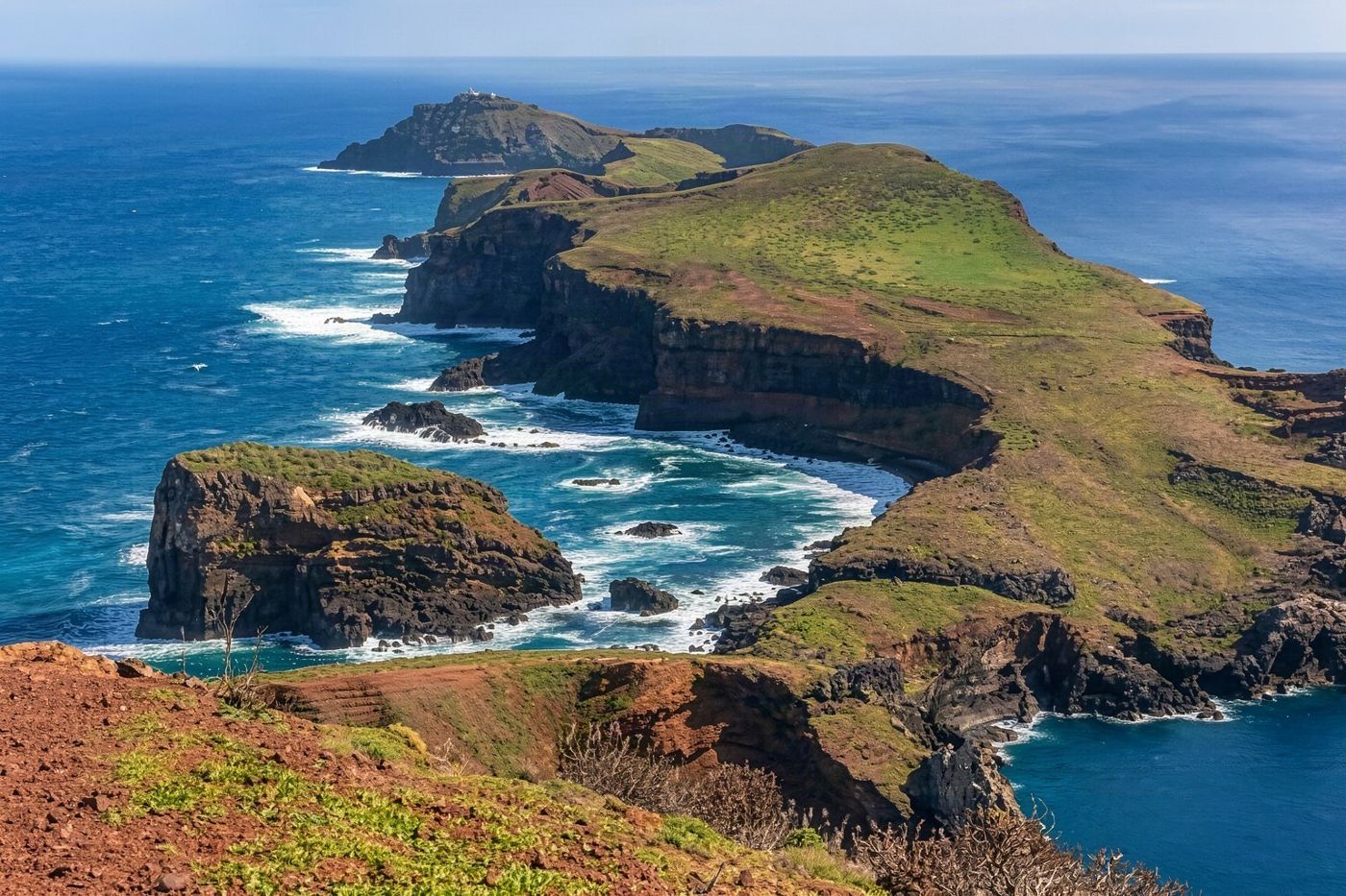 The only maintained trail crossing from north to south end-to-end in 2026 is over the peaks.
The peak crossing on PR1
People expect a crossing to take days. This one takes a morning.
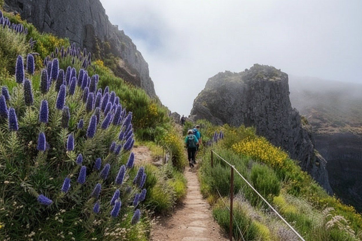
The madeira crossing hike over the peaks starts at Pico do Areeiro, 1,818 m, about 30 minutes from Funchal by road, and follows PR1, the Vereda do Areeiro, 6.1 km to Pico Ruivo, at 1,862 m the highest point of the archipelago. It is rated moderate and given about 3 hours. From the start to the Pedra Rija viewpoint, 1.2 km, it may be walked both ways; beyond Pedra Rija it runs one way only, towards Pico Ruivo.
From the summit there are two ways off. PR1.2, the Vereda do Pico Ruivo, goes 2.8 km down to Achada do Teixeira on the north side. PR1.1, the Vereda da Ilha, goes down to Ilha. Either way, you finish somewhere else, and the IFCN does not bring walkers back to Pico do Areeiro: the return is yours to arrange, which is why transfers are sold for exactly this walk.
The full ticket costs €10.50 and covers PR1, PR1.1 and PR1.2, and PR1.3 when it reopens. The full PR1 reopened on 1 May 2026 and has been open every day since 26 June 2026; it closed again on 14 to 17 and 21 to 22 September 2026 for boardwalk work, so check the IFCN notices for your date.
The PR1 guide covers the walk step by step.
 The full PR1 ticket costs €10.50 and covers trails PR1, PR1.1, PR1.2 and PR1.3 when open.
The MIUT line, Porto Moniz to Machico
The race is where most crossing ideas come from, and the common mistake is to read a race course as a hiking route.
The Madeira Island Ultra-Trail runs point to point across the island, from Porto Moniz in the north-west to Machico in the east. In 2026 its main race, the 17th edition, started at midnight on 25 April; the course was 109 km with 7,165 m of climbing, passed Pico Ruivo and the traverse to Pico do Areeiro, and had a checkpoint at Curral das Freiras. The winners ran it in 12 hours 48 minutes and 14 hours 55 minutes. In 2025 the course had been heavily rerouted after wildfire damage; in 2026 it was close to normal again after trail repairs.
A madeira crossing thru hike on that line is possible only as your own project. The rule for anyone planning one is the same as for every walker: set your itinerary first, check whether it uses any classified trail managed by the IFCN, and book each of those on SIMplifica for the date and slot you need. The same applies to official campsites that require booking.
On race day the course is marked for runners. On any other day, the stretches outside the classified trails are paths the region does not maintain, sign or monitor. That is a matter of experience, navigation and judgement, not of paperwork.

Hiking in Madeira (from Funchal to Santo da Serra)
Seven days of walking from a Funchal start, with the route and the nights arranged.
Drawing your own line
The mistake here is to draw a line on a map and assume the paths on it are open. On Madeira the map has to show the status of each trail as well as the route.
A madeira thru hike map worth trusting starts with the IFCN's list of classified trails, which shows each trail's status and the body that manages it. Mark the open ones, cross out the closed ones, including PR3 and PR1.3 in 2026, and the gaps show where a road or an unclassified path would have to fill in.
Then the bookings. Every classified trail on the line needs its own booking, for a date and an entry slot. The usual tolerance at the slot is about 15 minutes, a little more for walkers doing several trails in sequence. That makes a multi-day plan a timetable: each day's trails in order, with their slots.
The fees reward it. Two or more classified trails in 3 days cost €22.50, and in 7 days €52.50, against €4.50 each; the portal applies the cheaper rate by itself when you book several trails. These combined rates do not include PR1, which is booked on its own at €10.50 for the full route.
Refunds are given only when a trail is officially closed or restricted on the booked date. On a long plan, one closure can break a day, so keep a spare day for a trail that shuts. The booking and fees guide covers the rules in full.
Crossing Madeira in 2026
- Peak crossing, PR1
- 6.1 km, about 3 hours, €10.50 with PR1.1 and PR1.2
- East-west on classified trails
- Not possible: PR3 and PR1.3 closed
- MIUT 2026
- 109 km, 7,165 m of climbing, Porto Moniz to Machico
- Several trails in 3 days
- €22.50, not including PR1
- Several trails in 7 days
- €52.50, not including PR1
A crossing in stages from Funchal
Walkers who cannot link the island on foot often give up on the idea. The alternative is to walk it in stages, east to west, returning to a base each night.
Funchal works as that base because the trailheads fan out from it by road. A madeira through hike map built this way has the peninsula at the eastern tip, the forest of the north-east, the peaks in the middle, the north side above Santana and the western plateau, each a day, each on a classified trail with its own figures.
Start in the east with PR8 on the Ponta de São Lourenço, about 4 km each way from Baía d'Abra. Move west to Ribeiro Frio for PR10, the Levada do Furado, 11 km one way to Portela. Cross the peaks on PR1 and PR1.2. Walk PR9 to the Caldeirão Verde from Queimadas, 8.7 km each way. Finish in the west on the plateau: PR6 to the 25 Fontes from Rabaçal, then PR13, the Vereda do Fanal, 10.8 km from Assobiadores to Fanal.
That is six walking days and a spare, and the combined 7-day rate covers the trails except PR1. The days are not joined on foot, and each one needs a car, a transfer or a bus to the start, but together they cover the island from end to end.
Madeira east to west in six walking days
| Day | Trail | Start to end | Distance | Time |
|---|---|---|---|---|
| 1 | PR8 Vereda da Ponta de São Lourenço | Baía d'Abra to Casa do Sardinha and back | About 4 km each way | About 2:30 |
| 2 | PR10 Levada do Furado | Ribeiro Frio to Portela | 11 km | About 5 hours |
| 3 | PR1 and PR1.2 | Pico do Areeiro to Achada do Teixeira | 6.1 km + 2.8 km | About 3 hours on PR1 |
| 4 | PR9 Levada do Caldeirão Verde | Queimadas and back | 8.7 km each way | About 6:30 |
| 5 | PR6 Levada das 25 Fontes | Rabaçal and back | 4.3 km each way | About 3 hours |
| 6 | PR13 Vereda do Fanal | Assobiadores to Fanal | 10.8 km | About 4 hours |
- Trail
- PR8 Vereda da Ponta de São Lourenço
- Start to end
- Baía d'Abra to Casa do Sardinha and back
- Distance
- About 4 km each way
- Time
- About 2:30
- Trail
- PR10 Levada do Furado
- Start to end
- Ribeiro Frio to Portela
- Distance
- 11 km
- Time
- About 5 hours
- Trail
- PR1 and PR1.2
- Start to end
- Pico do Areeiro to Achada do Teixeira
- Distance
- 6.1 km + 2.8 km
- Time
- About 3 hours on PR1
- Trail
- PR9 Levada do Caldeirão Verde
- Start to end
- Queimadas and back
- Distance
- 8.7 km each way
- Time
- About 6:30
- Trail
- PR6 Levada das 25 Fontes
- Start to end
- Rabaçal and back
- Distance
- 4.3 km each way
- Time
- About 3 hours
- Trail
- PR13 Vereda do Fanal
- Start to end
- Assobiadores to Fanal
- Distance
- 10.8 km
- Time
- About 4 hours
Multi-day walking tours
Some walkers want the whole week arranged: the route, the transfers, the nights. That is what the multi-day tours sell, and the mistake is to expect them to follow one line across the island.
Several are sold. Hiking in Madeira, from Funchal to Santo da Serra, runs 7 days from Funchal. Premium Walking & Hiking in Madeira runs 6 days, also from Funchal. A self-guided package, Madeira, self-guided hike in an extraordinary garden, runs 8 days and moves its walkers between bases, starting with a transfer from Funchal to Machico.
These are walking holidays built from day walks, not continuous crossings, which in 2026 is the honest shape of a Madeira hiking week. What they add is the logistics: transfers to one-way trails like PR1 and PR10, the order of the days, and the nights in between.
Before booking, compare the days of walking with the days of travel, check whether the trail fees are included, and look for PR1 in the plan: it is the one crossing on the island, and its ticket is separate from the combined rates.

Madeira, self-guided hike in an extraordinary garden
Eight days, self-guided, moving between bases from Machico.
Closures, weather and safety
The mistake on a multi-day plan is to treat the trails as fixed. In Madeira they open and close.
The decision to close or restrict a classified trail is taken by the authorities, chiefly the IFCN, for safety, weather, risk on the ground or works. A weather warning does not close every trail automatically; each case is assessed and announced. The status of every classified trail is kept on the IFCN's trail pages, with its notices, and that is the page to read each morning.
A guide is not compulsory on any classified trail, though one can make a walk better informed and safer. On a line of your own, outside the classified network, a guide or a navigation plan matters more, because nobody maintains those paths.
The central mountains are high and exposed, the north side is wet, and the plateau at Fanal is often in fog. Carry water, food, a warm layer and a waterproof on every stage, and a torch for the tunnels on PR1 and PR9.
For the other walks, and every trail with its fee, see the hiking hub; the IFCN's list of classified trails shows which are open today, and its FAQ on trail fees sets out the crossing rules.
Common questions
Can you walk across Madeira from end to end?
Not on classified trails in 2026. The east-west link through Encumeada, PR3 and PR1.3, is closed; the crossing to Paul da Serra is not possible on classified trails.
What crossing can I walk?
The north-south crossing over the peaks: PR1 from Pico do Areeiro to Pico Ruivo, 6.1 km, then down PR1.2 to Achada do Teixeira or PR1.1 to Ilha. The ticket costs €10.50.
Can I hike the MIUT route?
Only as your own plan. The IFCN does not recommend or validate MIUT-inspired crossings; every classified trail on your line must be booked on SIMplifica.
Is there a multi-day trail pass?
There are combined rates, €22.50 for two or more trails in 3 days and €52.50 in 7 days, not including PR1. Each trail still needs its own booking.