Some links on this page are affiliate links: if you book through them, we may earn a commission at no extra cost to you. How this works
Most visitors to Funchal want some Madeira hiking at least once, and most arrive with a list of trail names from photographs and no idea which ones need a booking, a fee, a transfer at both ends or a whole day. The answers are published, trail by trail, by the island's forestry institute and its tourism board, and they change what a sensible plan looks like.
Walking on the island is organised around a set of classified trails, each with a number, an official length, an estimated time and a difficulty rating. Most of them charge a small access fee and ask walkers to register in advance on the regional government's SIMplifica portal. None of the famous ones starts in Funchal itself. They start on the high plateau, in the mountains above the city or on the eastern peninsula, between about 20 minutes and more than an hour away by road.
What the trails have in common comes first: the fees and bookings, how to reach the trailheads without a car, what each classic route asks of you, and where each one begins. Every trail also has a page of its own with its route map and details.
Transfers from Funchal to the classic trailheads, and a guided walk, for a hiking day without a car.
 Most reviewed
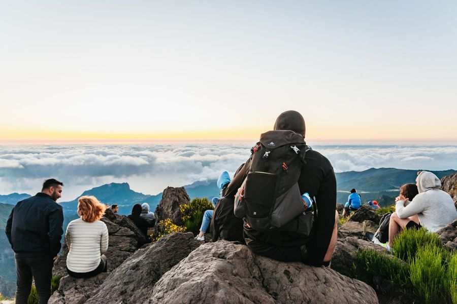
Funchal: Pico do Arieiro Sunrise Hiking Transfer
Sunrise at Pico do Arieiro and the start of PR1
 Guided
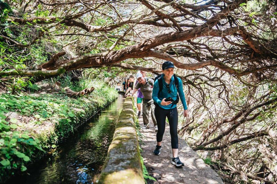
Madeira: Enjoy a Guided Levada Walk in the Rabaçal Valley
A guided levada walk at Rabaçal, the start of PR6
How the trails are organised
The first mistake is to treat every path on a map as the same kind of walk. Madeira's walking network has a classified core, the numbered PR trails ("percursos pedestres recomendados"), managed and signed by the forestry institute, IFCN, and a wide fringe of levadas and old paths that are not classified.
Classification matters for three reasons. The classified trails carry an official length, time and difficulty, so you can plan a day on them. They are the ones the IFCN closes and reopens after storms or works, and it posts those notices. And most of them charge an access fee, paid online.
The classic madeira hikes, the ones in the photographs, are all classified: PR1 from Pico do Areeiro to Pico Ruivo, PR6 to the 25 springs at Rabaçal, PR8 along the Ponta de São Lourenço, PR9 to the Caldeirão Verde. Others follow the same system, PR11 to the Balcões viewpoint at Ribeiro Frio, PR13 through Fanal, PR10 along the Levada do Furado.
Unclassified walks are not worse, only different. The Levada dos Tornos above Monte, 8 minutes from the city by road, is not in the IFCN's table, charges nothing and has no official time. Its page has the route, the start and the points on a map.
Where the classic trails start
Every trailhead is a road journey from Funchal; the times are driving times.
- Funchal city centre the base32.6500° N, 16.9167° W · Open in Google Maps
- Pico do Arieiro (PR1 start) PR1, about 30 minutes by road32.7357° N, 16.9287° W · Open in Google Maps
- Achada do Teixeira (PR1.2 start) PR1.2, and the way down from Pico Ruivo32.7650° N, 16.9209° W · Open in Google Maps
- Ribeiro Frio (PR10 and PR11) PR10 and PR11, about 25 minutes by road32.7396° N, 16.8869° W · Open in Google Maps
- Rabaçal (PR6 and PR6.1) PR6 and PR6.1, about 44 minutes by road32.7616° N, 17.1344° W · Open in Google Maps
- Levada dos Tornos above Monte Levada dos Tornos, about 8 minutes by road32.6827° N, 16.9128° W · Open in Google Maps
The classic trails, officially
| Trail | One way | Time | Difficulty | Fee over 12 |
|---|---|---|---|---|
| PR1 Pico do Areeiro - Pico Ruivo | 6.1 km | 3 hours | Moderate | €10.50 in full |
| PR6 Levada das 25 Fontes | 4.3 km | 3 hours | Moderate | €4.50 |
| PR6.1 Levada do Risco | 1.5 km | 2 hours | Easy | €4.50 |
| PR8 Ponta de São Lourenço | 4 km | 2:30 | Moderate | €4.50 |
| PR9 Levada do Caldeirão Verde | 8.7 km | 6:30 | Moderate | €4.50 |
| PR11 Vereda dos Balcões | 1.5 km | 1:30 | Easy | €4.50 |
| PR13 Vereda do Fanal | 10.8 km | 4 hours | Moderate | €4.50 |
- One way
- 6.1 km
- Time
- 3 hours
- Difficulty
- Moderate
- Fee over 12
- €10.50 in full
- One way
- 4.3 km
- Time
- 3 hours
- Difficulty
- Moderate
- Fee over 12
- €4.50
- One way
- 1.5 km
- Time
- 2 hours
- Difficulty
- Easy
- Fee over 12
- €4.50
- One way
- 4 km
- Time
- 2:30
- Difficulty
- Moderate
- Fee over 12
- €4.50
- One way
- 8.7 km
- Time
- 6:30
- Difficulty
- Moderate
- Fee over 12
- €4.50
- One way
- 1.5 km
- Time
- 1:30
- Difficulty
- Easy
- Fee over 12
- €4.50
- One way
- 10.8 km
- Time
- 4 hours
- Difficulty
- Moderate
- Fee over 12
- €4.50
Fees and the SIMplifica booking
Walkers still turn up at trailheads expecting to pay there, or not at all. The fees are paid online, in advance, on the regional government's SIMplifica portal, and on PR1 registration is compulsory.
The standard fee for a classified trail is €4.50 for visitors over 12. PR1 in full, from Pico do Areeiro to Pico Ruivo, costs €10.50 and includes its branches; PR1 only as far as the Pedra Rija viewpoint and back costs €4.50. Visitors aged 12 and under pay nothing. Residents of Madeira walk free but still register, because the portal also limits how many people are on a trail. The institute also sells day and multi-day rates for walkers doing several trails; read the IFCN fees page before quoting them.
A guided tour or transfer does not always include the fee. Check the product before assuming it, and book the trail on SIMplifica yourself if it does not.
The same portal takes the €5 entry fee for the Cabo Girão skywalk, which is not a hike but often shares a day with one on the south coast.
- Standard trail fee
- €4.50, visitors over 12
- PR1 in full
- €10.50
- PR1 to Pedra Rija and back
- €4.50
- 12 and under
- Free
- Where to pay
- SIMplifica portal, in advance
Choosing between the classics
The usual error is to choose a trail by its photograph and discover its length at the trailhead. The best hikes in madeira differ far more in what they ask than in how good they are.
PR1 is the mountain crossing, 6.1 km from Pico do Areeiro to Pico Ruivo, the highest point of the archipelago at 1,862 m. It takes about 3 hours and is rated moderate, with tunnels cut in the volcanic rock and steep drops. It is now one way only, so you need a way down from the far end.
PR6 is the forest and waterfall walk: 4.3 km along a levada from Rabaçal to the 25 springs, about 3 hours, with the short, easy PR6.1 to the Risco waterfall sharing its start. Neither needs a return transfer, because both come back the same way.
PR8 is the coast: 4 km each way along the bare eastern peninsula, about 2:30, moderate, with no shade. PR9 is the long one, 8.7 km each way from Queimadas to the Caldeirão Verde, about 6:30 there and back, with four tunnels.
For a first walk, PR6.1 or PR11 show a levada in under two hours. For a full day, PR1 or PR9. For a morning with sea views, PR8.
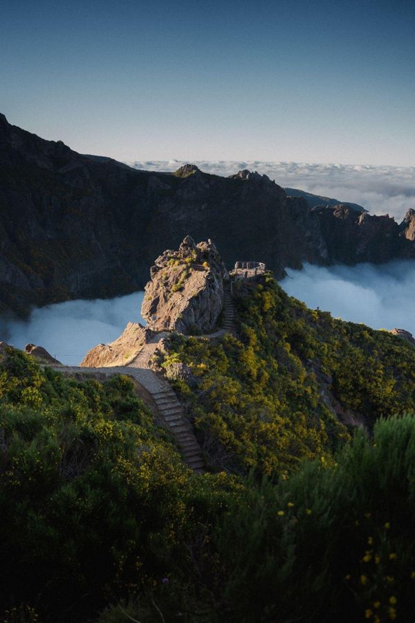
Funchal: Pico do Arieiro & Pico Ruivo Hiking Transfer
★ 4.8 · 2,114 reviewsTransfers from Funchal to Pico do Arieiro and back from Pico Ruivo, for walking PR1 in its one permitted direction.
PR1, the peak-to-peak walk
Many walkers still plan PR1 as a there-and-back from Pico do Areeiro, as it was for years. It is not one any more. After a rockfall, the IFCN made the route one way only, Pico do Areeiro to Pico Ruivo, and kept that rule when it reopened the trail every day from 26 June 2026, as its notice says.
That changes the logistics. The walk ends at Pico Ruivo; from there the usual way down is PR1.2, 2.8 km to Achada do Teixeira, about 1:30. So you need a car waiting at Achada do Teixeira, a taxi, or a transfer that drops you at one end and collects you at the other. A Horários do Funchal bus runs from the city to Pico do Areeiro, but not back from Achada do Teixeira.
Booking is compulsory on SIMplifica, and the trail can still close for works: it closed on 14 to 17 and 21 to 22 September 2026 for a boardwalk. Check the IFCN notices before you go.
If you only want the view and the "Stairway to Heaven", the partial route to the Pedra Rija viewpoint and back, 1.2 km each way, is still allowed in both directions. The PR1 page and the Stairway to Heaven page have the details and the route maps.
PR1 in 2026
- Length
- 6.1 km, Pico do Areeiro to Pico Ruivo
- Time
- About 3 hours
- Direction
- One way only, Areeiro to Ruivo
- Open
- Every day from 26 June 2026
- Fee
- €10.50 in full; €4.50 to Pedra Rija and back
- Pico Ruivo
- 1,862 m, the archipelago's highest point
Reading the map
Walkers new to the island often read a map as if Madeira were flat, and plan two trailheads that look close on the same day. Distance on the map and time on the road are different things here.
On a madeira hiking map, the classic trailheads sit at these road times from Funchal: about 8 minutes to the Levada dos Tornos above Monte, 25 to Ribeiro Frio, 30 to Pico do Areeiro, 34 to Baía d'Abra for PR8, 44 to Rabaçal for PR6, 51 to Queimadas for PR9 and 76 to Fanal. The central mountains stand between the south coast and the north, and the roads go round or under them.
Two things follow. A morning walk on the plateau and an afternoon on the eastern peninsula are two long drives, not a short hop. And the eastern and western trails pair more naturally with each other's neighbours than with each other: Rabaçal with Fanal on the west, Ribeiro Frio with Queimadas and Santana on the north-east, PR8 with Machico on the east.
The trail pages carry their own route maps, with the points along each walk pinned in the order you pass them.
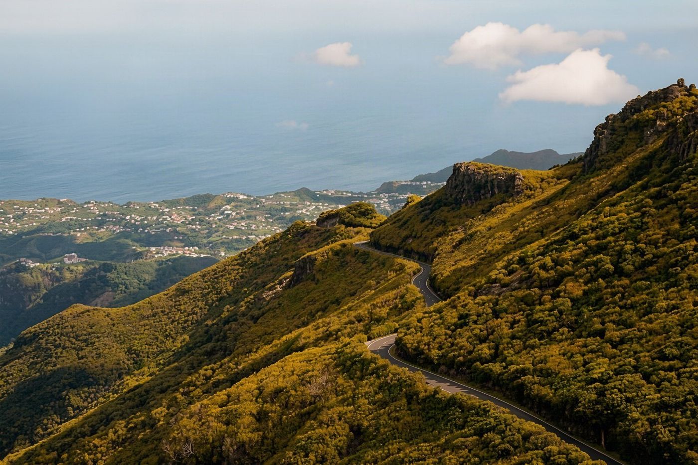 Roads go round or under the central mountains, meaning morning and afternoon walks require long drives.
Walking in the laurel forest
The forest is often described as rainforest, and walkers dress for heat. It is laurel forest, the Laurisilva, and the walks through it are cool, damp and shaded.
The Laurisilva of Madeira is a UNESCO World Heritage site of about 15,000 ha, roughly a fifth of the island, mostly on the north-facing slopes between 300 and 1,300 m. UNESCO describes it as the largest surviving area of laurel forest and believes about 90% of it to be primary forest, with trees possibly over 800 years old.
Most madeira forest hiking trails run through it along levadas, the water channels the settlers built across the slopes. UNESCO notes they are typically 80 to 150 cm wide and carry water from the forest to hydropower stations and the towns of the south. That is why the paths are narrow and nearly level, and why a levada walk is usually easier on the legs than its length suggests.
PR6 at Rabaçal, PR9 from Queimadas, PR10 and PR11 at Ribeiro Frio and PR13 at Fanal all pass through the forest. The Laurisilva page and the Fanal page cover the forest itself; the levada walks page covers the channels and the walks near Funchal.
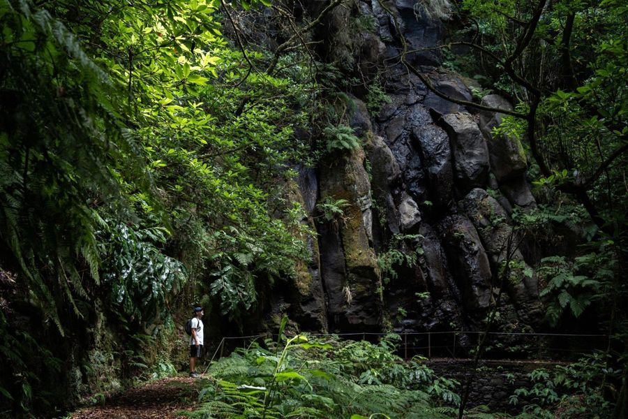
Madeira: PR 9 - Levada do Caldeirão Verde Hike Transfer
★ 4.8 · 802 reviewsA transfer from Funchal to Queimadas for PR9, the Levada do Caldeirão Verde, and back.
The trails one by one
Visitors often try to fit a whole trail's details into one plan. Each classic route has a page of its own: the route, the points along it on a map, the fee and how to get there.
The madeira hiking trails map for each walk sits on its page, with the start, the viewpoints and the end pinned in walking order:
- Pico do Arieiro to Pico Ruivo (PR1), the peak-to-peak crossing, one way. - The Stairway to Heaven, the stepped ridge near Pedra Rija on PR1. - Levada das 25 Fontes and the Risco waterfall (PR6 and PR6.1), from Rabaçal. - Levada do Caldeirão Verde (PR9), from Queimadas, with four tunnels. - Ponta de São Lourenço (PR8), the eastern peninsula. - Levada walks, including the Levada dos Tornos above Monte. - Crossing Madeira on foot, the multi-day routes. - Fees and bookings, the SIMplifica portal in detail. - Which levada walk?, a short questionnaire that picks one for you.
Guided walks and trailhead transfers with pickup in Funchal are listed on the hiking tours page.
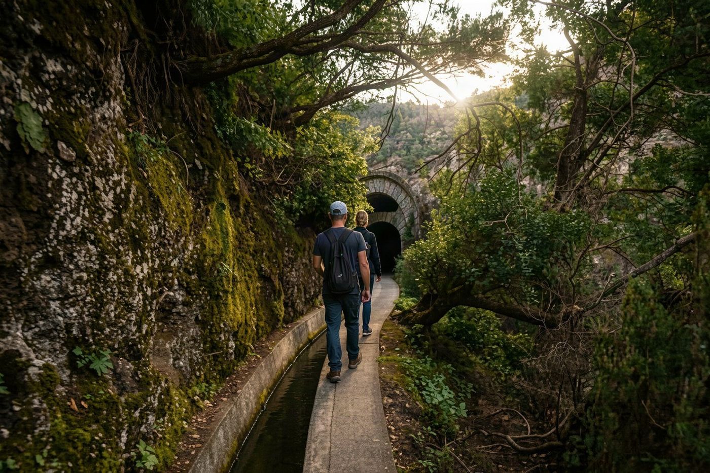 The Levada das 25 Fontes starts from Rabaçal and is one of the classic walks listed on the site.
Getting there without a car
Many visitors assume the trails need a hire car. Several are reachable by bus, and for the others a transfer from Funchal is a common product.
Pico do Areeiro has a Horários do Funchal bus from the city, about 45 minutes by one account. Line 103, Funchal to Santana, runs via Ribeiro Frio for PR10 and PR11. For PR9, hikers take lines 56, 103 or 138 to Santana and a taxi from there to Queimadas; one hiker reported that taxi at €12. For PR8, bus 113 runs from Funchal to Baía d'Abra, about an hour and a half by one estimate; the SIGA timetable has the departures. Rabaçal has no regular bus: reach it by car, taxi or a tour, and from the ER105 road a municipal shuttle runs down to the trailhead, reported at about €3 one way.
Bus times on the north and east are sparse, so a missed return is a long wait. Read the timetable before you set out, not at the trailhead.
Transfers solve the one-way problem too. On PR1 a transfer that drops you at Pico do Areeiro and collects you at Achada do Teixeira is often the simplest option.
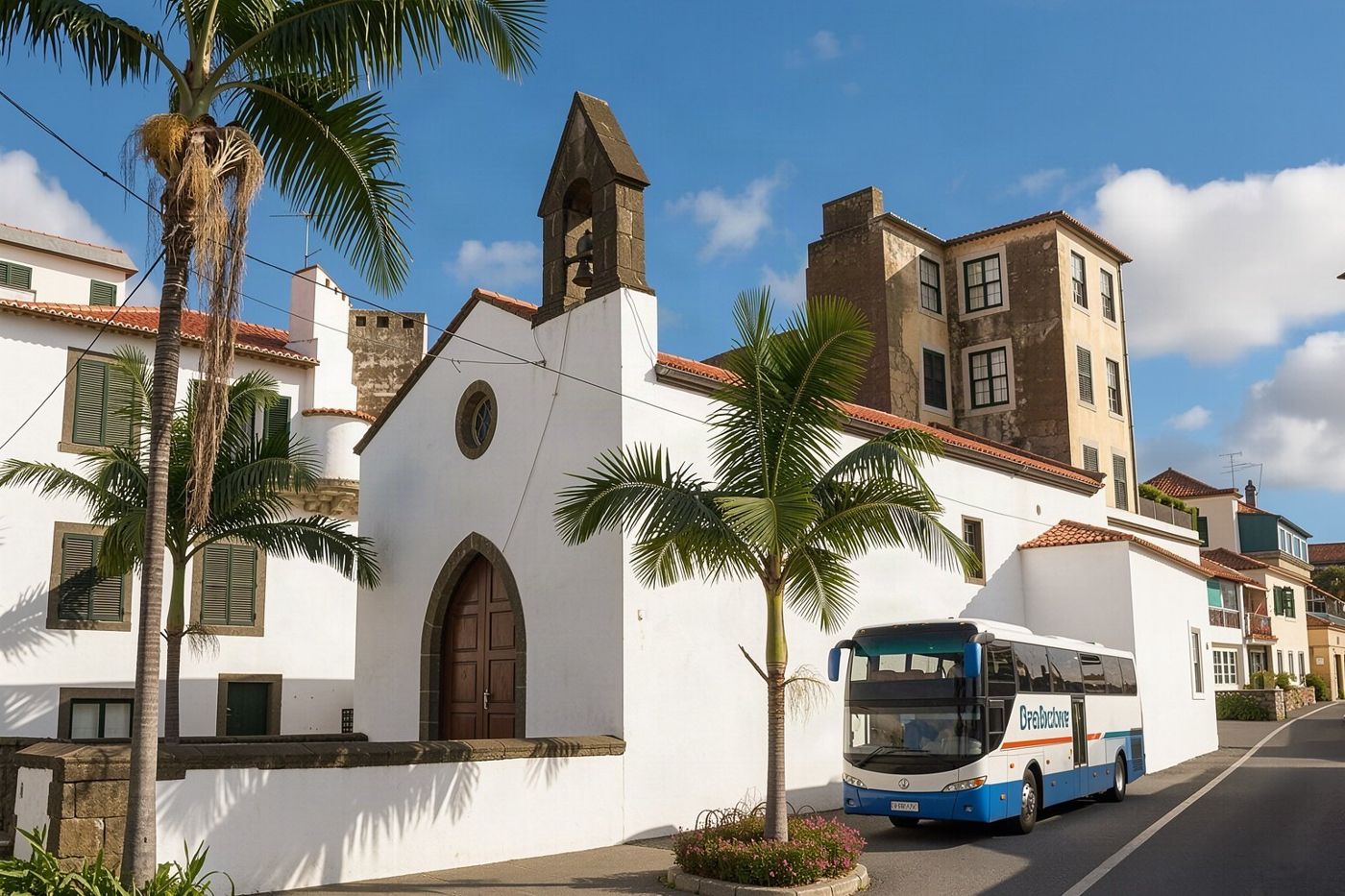 Bus 113 connects Funchal to Baía d'Abra for hikers on the PR8 trail.
The coast and the east
Walkers who have seen only the forest photographs expect green everywhere. The east is dry, bare and windy, and it asks for different preparation.
For madeira coastal hiking, PR8 along the Ponta de São Lourenço is the classic: 4 km each way from Baía d'Abra to Casa do Sardinha, about 2:30, moderate, between 23 m and 126 m above the sea. The trail has views over the north and south coasts at once, one of the region's largest gull colonies, shearwaters and Bulwer's petrels, and, with luck, the monk seal. The peninsula is a protected area managed by the IFCN.
What it lacks is shade. A hiker's guide warns that the trail is crowded and hot at midday in summer, that the only shelter is at Casa do Sardinha near the end, and that wind can make it hard going. Start early or late, carry water and a hat, and expect the wind.
The PR8 page has the route map. Machico, where the first settlers landed, is on the way from Funchal and makes a good lunch stop after a morning walk.
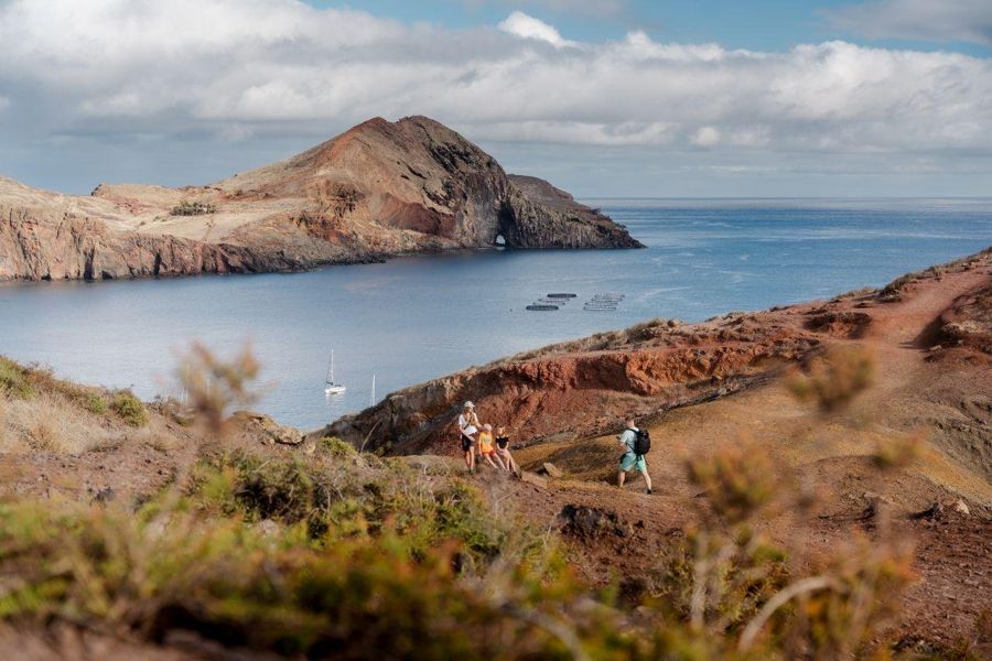
Funchal: Caniçal Ponta São Lourenco Hiking Transfer
★ 4.8 · 1,044 reviewsA transfer from Funchal to the Ponta de São Lourenço trail at Caniçal and back.
What the trails ask of you
The commonest mistake is to judge a walk by its rating alone. "Moderate" on PR8 and "moderate" on PR9 mean very different days: one is 2:30 in the sun, the other 6:30 in the forest with tunnels.
Read three numbers for each trail: the length one way and whether you walk back, the official time, and the highest and lowest points. PR9 runs between 872 m and 1,020 m, so it is nearly level but long. PR6 drops from 1,288 m to 964 m, so the return is uphill. PR8 is low and exposed. PR1 is high, with steep sections and tunnels between two peaks.
Tunnels need a torch on PR9 and on parts of the levadas. The high trails can be cold even when Funchal is warm, and the forest is damp. Wear shoes with grip, carry water and a layer, and turn back if the weather turns: the IFCN closes trails for good reason, and a trail that is open can still be unpleasant in rain or wind.
None of the classic walks needs special equipment. They need the right expectations and an early start.
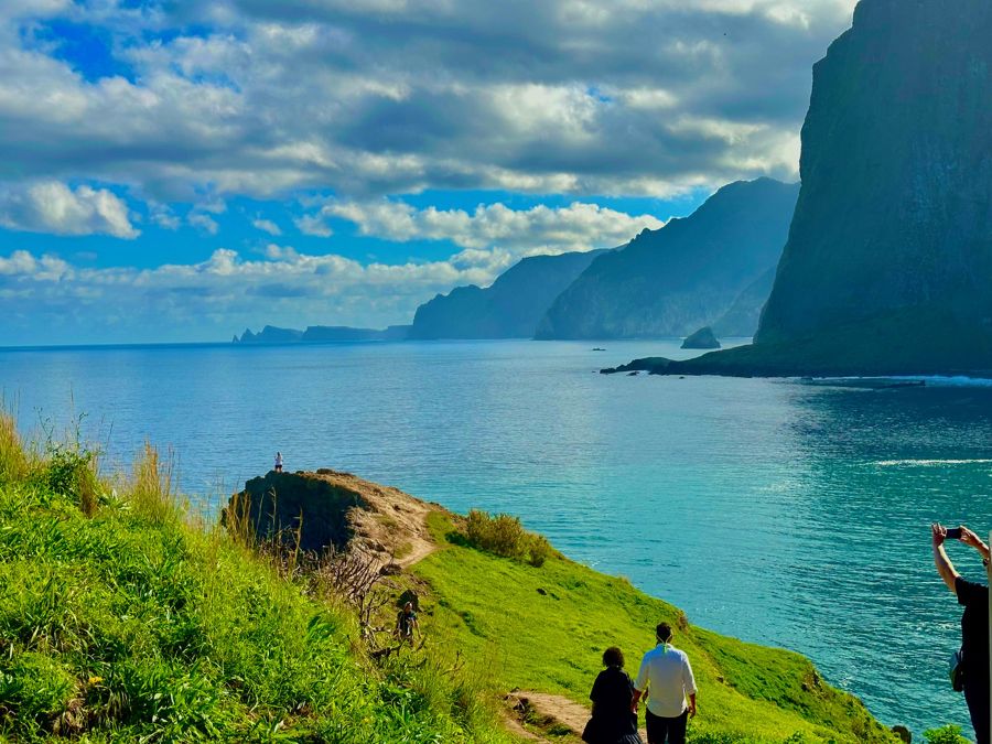
Funchal: East Madeira Island Guided Tour & Laurissilva Walk
★ 4.8 · 1,382 reviewsA guided tour of eastern Madeira with a walk in the Laurisilva, from Funchal.
Closures and changing rules
Walkers often rely on a blog post from a year ago, and on Madeira's trails a year is a long time. Rules and openings change, and the official notices are the only reliable source.
PR1 is the example. It was closed for works from August 2024, opened on Fridays to Sundays only for a period, reopened every day from 26 June 2026, and closed again for a few days in September 2026 for a boardwalk. Its one-way rule followed a rockfall. The trail fees now stand at €4.50, with a separate PR1 rate. Any of this can change again.
Before each walk, check the IFCN's notices for closures, the SIMplifica portal for bookings and fees, and the weather for the day. On Visit Madeira's trail pages, a banner shows whether a trail is open, closed or partly closed.
Guidebooks and apps are useful for the route, not for the rules. When a notice and a guidebook disagree, the notice wins.
Planning a hiking week from Funchal
Visitors who come to walk often try to fit too many trails into too few days, because the distances look short. A realistic week has room for rest, weather and drives.
Funchal works as a base for all of it. The Levada dos Tornos starts above Monte, 8 minutes away by road. Ribeiro Frio and Pico do Areeiro are under half an hour. PR8 is about 34 minutes. Rabaçal, Queimadas and Fanal take between 44 and 76 minutes. A day on the north or the west, with the drive, fills most of the daylight.
A sensible pattern alternates long and short days: PR1 one day, a short levada the next; PR9 and a rest; PR8 in the morning and the old town in the afternoon. Keep a spare day for weather, because the mountain trails close or become unpleasant in rain and wind, and the IFCN can close a trail at short notice.
The crossing page covers walking across the island over several days, and the levada tool suggests a walk for your fitness and time.
Common questions
Do I have to pay to walk Madeira's trails?
Most classified trails charge €4.50 for visitors over 12, paid on the SIMplifica portal. PR1 in full costs €10.50. Children 12 and under are exempt.
Can I walk PR1 there and back?
Not in full. It is one way from Pico do Areeiro to Pico Ruivo; only the section to the Pedra Rija viewpoint may be walked both ways.
Which trail is easiest?
Among the classics, PR6.1 to the Risco waterfall and PR11 to the Balcões viewpoint are rated easy, at 1.5 km each way.
Can I reach the trails by bus from Funchal?
Some: Pico do Areeiro, Ribeiro Frio and Baía d'Abra have buses, and Queimadas needs a bus to Santana and a taxi. Rabaçal has no regular bus.