Some links on this page are affiliate links: if you book through them, we may earn a commission at no extra cost to you. How this works
Visitors opening a map of Funchal usually want to know one thing: how far apart everything is. Less than it looks. The historic centre, the old town, the market and the cathedral lie within a short walk of each other along the bay; the museums of São Pedro sit just west, the hotel zone of the Lido further west along the coast, and Monte on the hill above, reached by cable car.
One map sets out the city's sights by kind: monuments, museums, gardens, viewpoints, the bathing complex and the cable car stations. Another sets out the island around Funchal, with the places most visitors go on a day trip, from Câmara de Lobos, about 14 minutes away by road, to Porto Moniz, about 56. From the cruise terminal on the Pontinha pier, the centre is about 1 km, a walk of about 15 to 20 minutes along the waterfront.
Two short ways to see the city's map from the ground.
 Most reviewed
 Viewpoints
The city on one map
The common mistake is to plan taxis between sights that are a few minutes apart. Most of the centre is walked.
At the eastern end of the seafront is the Zona Velha, the old town, around Rua de Santa Maria, with the Forte de São Tiago and the Socorro viewpoint beyond it. The Mercado dos Lavradores stands at its western edge, and the lower station of the cable car to Monte is in the old town too.
A few minutes west is the centre around the Sé, the cathedral, with Praça do Município and the Sacred Art Museum above it. Further west again, the marina, the CR7 Museum and the Santa Catarina Park line the waterfront, with the Quinta das Cruzes and the Fortaleza do Pico on the slope above. The Lido bathing complex lies further west, in the hotel zone.
Above the city, the Monte cable car station, the Monte Palace Tropical Garden and the Madeira Botanical Garden sit on the hillside.
Funchal's sights
The city by kind of place: monuments, museums, gardens, viewpoints, the bathing complex and the cable cars.
Starting point
- Funchal city centre32.6500° N, 16.9167° W · Open in Google Maps
Monuments
- Zona Velha, Rua de Santa Maria32.6482° N, 16.9042° W · Open in Google Maps
- Forte de São Tiago32.6467° N, 16.8986° W · Open in Google Maps
- Mercado dos Lavradores32.6487° N, 16.9035° W · Open in Google Maps
- Sé (the cathedral)32.6482° N, 16.9082° W · Open in Google Maps
- Praça do Município32.6495° N, 16.9088° W · Open in Google Maps
- Fortaleza do Pico32.6509° N, 16.9164° W · Open in Google Maps
Museums
- Madeira Story Centre32.6478° N, 16.9026° W · Open in Google Maps
- Sacred Art Museum32.6494° N, 16.9084° W · Open in Google Maps
- Quinta das Cruzes Museum32.6511° N, 16.9138° W · Open in Google Maps
- CR7 Museum32.6442° N, 16.9139° W · Open in Google Maps
Beaches and sea pools
- Complexo Balnear do Lido32.6356° N, 16.9328° W · Open in Google Maps
Viewpoints
- Socorro viewpoint32.6468° N, 16.8977° W · Open in Google Maps
Gardens and parks
- Santa Catarina Park32.6453° N, 16.9147° W · Open in Google Maps
- Monte Palace Tropical Garden32.6737° N, 16.9028° W · Open in Google Maps
- Madeira Botanical Garden32.6622° N, 16.8954° W · Open in Google Maps
Transport
- Cable car to Monte, lower station32.6473° N, 16.9022° W · Open in Google Maps
- Cable car, Monte station32.6755° N, 16.9004° W · Open in Google Maps
- Funchal marina32.6461° N, 16.9104° W · Open in Google Maps
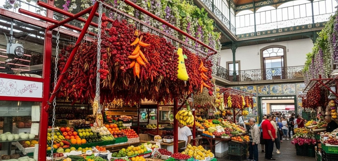 The market stands at the western edge of the Zona Velha old town.
The cable cars and the hill
Visitors often look at Monte on the map and think it is a long way. It is a cable car ride.
The Funchal-Monte cable car runs from its lower station in the old town up to Monte, €16 one way or €22 return, daily from 09:00, with the last boarding at 17:45. At the top are the church of Nossa Senhora do Monte and the Monte Palace Tropical Garden, 70,000 m², €18 for an adult. From Monte, a second cable car runs across to the Madeira Botanical Garden, €11 one way, 1,600 m in about 18 minutes.
The toboggans run about 2 km down from Monte to Livramento in about 10 minutes, from €30 for one, and taxis and buses finish the way down to the centre, a trip worth planning before you ride.
The city buses cover the hill too: routes 020 and 021 go to Monte, 031 to the Botanical Garden, and a trip costs €1.45 on a pre-paid GIRO card.
The main places on the city map
| Place | Kind | Where |
|---|---|---|
| Zona Velha and Rua de Santa Maria | Old town | Eastern end of the seafront |
| Mercado dos Lavradores | Market | Western edge of the old town |
| Sé | Cathedral | The centre, Rua do Aljube |
| Praça do Município | Town square | Above the cathedral |
| Santa Catarina Park | Park | Above the marina |
| Fortaleza do Pico | Fort | On the hill above São Pedro |
| Monte Palace Tropical Garden | Garden | Monte, by the cable car |
| Madeira Botanical Garden | Garden | On the hillside, by the second cable car |
| Complexo Balnear do Lido | Bathing complex | The hotel zone, west |
- Kind
- Old town
- Where
- Eastern end of the seafront
- Kind
- Market
- Where
- Western edge of the old town
- Kind
- Cathedral
- Where
- The centre, Rua do Aljube
- Kind
- Town square
- Where
- Above the cathedral
- Kind
- Park
- Where
- Above the marina
- Kind
- Fort
- Where
- On the hill above São Pedro
- Kind
- Garden
- Where
- Monte, by the cable car
- Kind
- Garden
- Where
- On the hillside, by the second cable car
- Kind
- Bathing complex
- Where
- The hotel zone, west
Walking the map
The mistake is to judge distances in Funchal by the map alone. The flat seafront and the steep hill behind it are different walks.
Along the sea, the city is easy on foot: the old town, the market, the cathedral, the marina and the Santa Catarina Park follow one another along the bay. From the cruise terminal on the Pontinha pier, the centre is about 1 km, a walk of about 15 to 20 minutes along the waterfront.
Behind the seafront, the streets climb steeply towards São Pedro, Santa Luzia and Monte. For the Fortaleza do Pico or the Quinta das Cruzes, walk up and come down; for Monte and the gardens, ride. The buses and a taxi fill the gaps between the two.
The neighbourhoods guide describes each area on the map, and the guide to getting around the buses and cable cars.
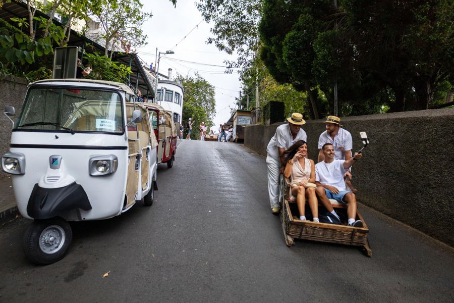
Funchal: Guided Tuk Tuk Tour to Toboggan Rides & Old Town
★ 4.9 · 968 reviewsMonte and the old town by tuk-tuk, the two ends of the city map in one short tour.
The island around Funchal
People often look at the island map and plan two bases. From Funchal, most of it is within an hour.
The places most visitors reach from the city are each within a short drive of Funchal. Câmara de Lobos, the fishing town, is about 14 minutes west, and Cabo Girão, with its skywalk 580 m above the sea, about 17. Machico, on the east coast, is about 23 minutes, and the Ponta de São Lourenço, at the eastern tip, about 34 to its start at Baía d'Abra.
In the mountains, Pico do Areeiro is about 30 minutes up; Santana, on the north coast, about 44; and in the west, Rabaçal about 44, Porto Moniz about 56 and Fanal about 76.
The day trips guide covers each one, and the hiking hub maps the trailheads.
Day trips from Funchal
The island's most visited places, with their drive times from Funchal.
- Funchal city centre the base32.6500° N, 16.9167° W · Open in Google Maps
- Câmara de Lobos about 14 minutes32.6500° N, 16.9667° W · Open in Google Maps
- Cabo Girão about 17 minutes32.6572° N, 17.0048° W · Open in Google Maps
- Machico about 23 minutes32.7167° N, 16.7667° W · Open in Google Maps
- Santana about 44 minutes32.8000° N, 16.8667° W · Open in Google Maps
- Porto Moniz about 56 minutes32.8667° N, 17.1667° W · Open in Google Maps
- Old town to cathedral
- A short walk along the bay
- Cruise pier to centre
- About 1 km, 15 to 20 minutes
- Old town to Monte
- By cable car, €16 one way
- Airport
- 18.6 km, about 20 minutes by road
- Furthest day trip
- Fanal, about 76 minutes
Using the maps
The mistake is to trust a map for opening hours. The map shows where; check when.
Grouped by kind, the city's places make a museum day or a garden day easy to plan in one area. A few places have fixed days: the Mercado dos Lavradores closes on Sundays and on Saturdays at 14:00, and the cathedral is closed to visits on Sundays and holidays. The cable car to Monte stops boarding at 17:45.
The island's drive times are road times from Funchal, without stops. Some places have no regular bus, Rabaçal and Fanal among them, so a car, a tour or a taxi is needed.
For the trails, the IFCN's list of classified trails shows which are open, and the cable car's site its hours and prices.
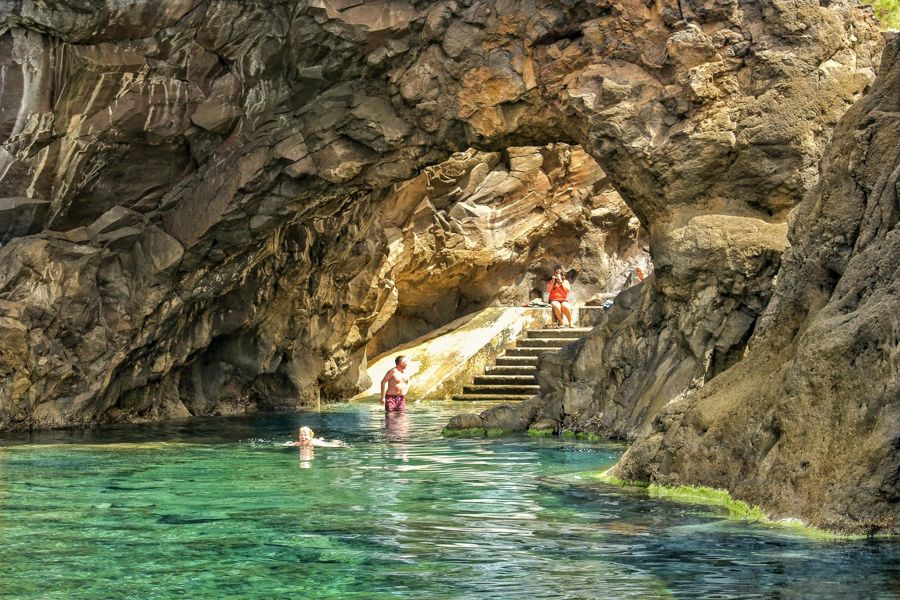
Funchal: Enchanted Terraces, Porto do Moniz & Fanal 4WD Tour
★ 4.8 · 5,647 reviewsThe far west of the map, Porto Moniz and Fanal, by 4WD from Funchal.
Common questions
Is Funchal walkable?
Along the sea, yes: the old town, the market, the cathedral and the marina lie along the bay. The hill behind is steep; ride the cable car or a bus up.
How far is Monte from the centre?
It is on the hill above the city, reached by the cable car from the old town, €16 one way, or bus routes 020 and 021.
How far is the cruise port from the centre?
About 1 km from the Pontinha pier, a walk of about 15 to 20 minutes along the waterfront.
How far are the day trips?
From about 14 minutes to Câmara de Lobos to about 76 to Fanal by road.